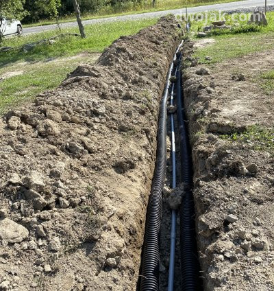
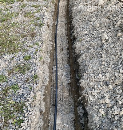
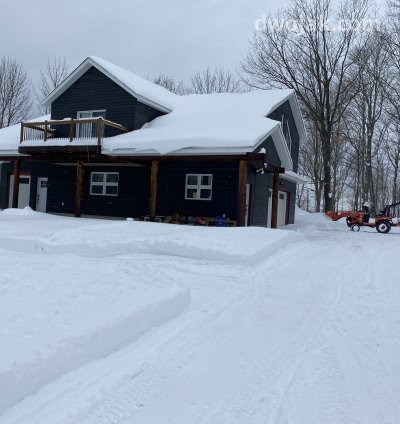
Dwojak flies drone across Muskoka to map shorelines, lots, pits and job sites — one mobilization, centimeter accuracy, deliverables in days.
Every project ships with a written accuracy report, check-point residuals and the raw imagery. Files arrive as GeoTIFF, LAS/LAZ, DXF contours, PDF plots and a shareable web map — projected to UTM Zone 17N / CGVD2013 unless you say otherwise. Transport Canada certified, RPAS Advanced operations Fully insured for commercial UAV work in Ontario Ground control and check points on request
Or login with email
Don't have an account? Register
Filter products by location
This site uses cookies. By continuing to browse the site, you are agreeing to our use of cookies - Cookie Monster.